← Back to trails
Pico · PRC09PIC
Prainha do Norte
A circuit around Prainha through fields, basalt vineyards, rural heritage, viewpoints and the coast at Canto da Areia and Poça Branca.
Open
Status checked · July 25, 2026, 14:44
Unofficial information that may change at any time. Confirm the trail status before setting out.
When did you walk it?
How is the trail?
Your report shows here once our editors have reviewed it, and stays up for 14 days.
Share a photo
Only send photos you took yourself. Once reviewed, it is published with the credit “Foto: Açores 9 member”.
Loading the route…
About the route
Prainha do Norte is a circuit beginning at Dr. José Machado Serpa square in the parish centre. Nossa Senhora da Ajuda church, the parish council, philharmonic headquarters, bandstand and Holy Spirit chapel form the opening setting. The route then moves into a landscape of small farms, orchards and vines divided by basalt enclosures, where many traditional cellars have become summer houses or rural accommodation.
Near Canto da Areia Bay, the path crosses the former Morro vineyard area, now occupied by coastal scrub of heather, Azorean whitewood and faya. The area is valuable to seabirds, including Cory's shearwater. Ponta da Rocha viewpoint opens views toward Santo Amaro and Prainha. Other features along the walk include ruins of an early settlement, stone bridges, small farm stores, Casa do Fio and São Pedro chapel.
The coastal section brings together a tidal well, a rotating windmill and two very different bathing places: the sandy shore at Canto da Areia and the natural pool of Poça Branca. The circuit returns to the original square, where São Jorge may be visible. This easy walk combines parish heritage, agriculture, coastal vegetation and repeated contact with the sea.
Directions
Begin at Dr. José Machado Serpa square beside Nossa Senhora da Ajuda church. Follow the circular markings out of the centre through small farms, orchards and vineyards. Continue toward the former Morro vine-growing area and Ponta da Rocha viewpoint. Remain on the marked line past Casa do Fio, São Pedro chapel, stone bridges and farm buildings. On the coastal sector, the trail approaches the tidal well, windmill and Canto da Areia before continuing toward Poça Branca. From there, follow the return markings into Prainha and back to the original square. Start and finish coincide, with road access available in the parish centre.
Safety
The trail is open. It includes farm tracks, stone paths, roads and coastal ground, so wear grippy footwear and respect private land, walls and crops. Use the verge wherever the route shares space with vehicles. In nesting habitat, stay on the path and do not disturb birds. Canto da Areia and Poça Branca should only be used in favourable sea conditions; keep back from surf and carry protection from sun, wind and showers.
Elevation profile
- Minimum
- 5 m
- Maximum
- 126 m
- Distance
- 8.8 km
- Points
- 19
126 m
5 m
Near the trailhead
Places a short distance from the starting point.
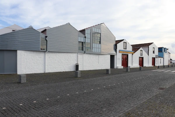 Museums and Theaters
Closed now
Museums and Theaters
Closed now
Whaling Museum
Lajes do Pico museum devoted to Azorean artisanal whaling, with historic boathouses, exhibitions, an archive, specialist library and educational services.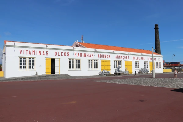 Museums and Theaters
Closed now
Museums and Theaters
Closed now