 Museums and Theaters
Closed now
Museums and Theaters
Closed now
← Back to trails
Pico · PR10PIC
Santana - Lajido
A coastal route from Santana to Lajido through rural settlements, lava fields and Pico's protected vineyard landscape.
Open
Status checked · July 25, 2026, 14:44
Unofficial information that may change at any time. Confirm the trail status before setting out.
When did you walk it?
How is the trail?
Your report shows here once our editors have reviewed it, and stays up for 14 days.
Share a photo
Only send photos you took yourself. Once reviewed, it is published with the credit “Foto: Açores 9 member”.
Loading the route…
About the route
Santana–Lajido links the Santo António coast with the vineyard settlement of Lajido de Santa Luzia. The walk begins on the regional road at the boundary between Santana and São Vicente Ferreira. Before setting out, a short access leads to a whale lookout; on the trail itself, the descent crosses orchards and vineyards toward Gasparal Bay. Beside the sea, a tidal well recalls how communities adapted to the scarcity of surface water.
Beyond the coastal houses, the route continues toward Ponta Negra. A lane bordered by Australian cheesewood and heather gradually becomes a shortcut over basalt, bringing the walker close to the lava forms that define this edge of Pico. The itinerary passes the small settlement of Cabrito and climbs toward São Mateus chapel. It then proceeds through Arcos, alternating hamlets, rural lanes, vineyards and volcanic ground.
The finish reaches Lajido beside the interpretation centre devoted to the Vineyard Culture Landscape. In one easy linear walk, the route brings together three aspects of the north coast: old observation points connected with whaling, communities established around small bays and harbours, and vines protected by basalt walls. The variety of surfaces still calls for attention despite the absence of major technical difficulty.
Directions
Locate the start beside the regional road at the boundary between Santana and São Vicente Ferreira. If visiting the lookout, take the lane on the left and return to the start. Enter the path between two houses, climb inland and, after about 700 metres, turn right onto asphalt. Soon afterwards descend through orchards and vineyards to Gasparal Bay. Pass the tidal well and keep right of the coastal houses toward Ponta Negra. Continue along the lane and basalt shortcut, cross Cabrito and turn right toward São Mateus chapel. Farther ahead, turn right again, pass through Arcos and finish in central Lajido. Arrange transport back to Santana.
Safety
The trail is open. Its surface alternates asphalt, lanes, uneven basalt and rural access tracks, so wear grippy footwear and take extra care when rock is wet. Use the verge on road sections and respect private plots, vineyards and walls. The coast offers little shelter from sun, wind or showers, so carry water and suitable layers. Near bays and tidal wells, keep back from breaking waves when the sea is rough.
Elevation profile
- Minimum
- 9 m
- Maximum
- 195 m
- Distance
- 8.7 km
- Points
- 64
195 m
9 m
Near the trailhead
Places a short distance from the starting point.
Museums and Theaters
Closed now
 Museums and Theaters
Closed now
Museums and Theaters
Closed now
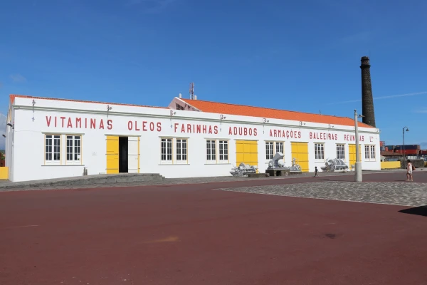
Whaling Industry Museum
The Azores' first public industrial museum, in São Roque do Pico, preserves a former factory and equipment once used to process sperm whales.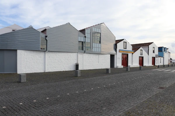 Museums and Theaters
Closed now
Museums and Theaters
Closed now