← Back to trails
Faial · GR01FAI
Faial Costa a Costa
A grand route from Ribeirinha to Capelinhos crossing Faial's volcanic history, the Caldeira, forests and the cones of Capelo.
Open
Status checked · July 25, 2026, 14:44
Unofficial information that may change at any time. Confirm the trail status before setting out.
When did you walk it?
How is the trail?
Your report shows here once our editors have reviewed it, and stays up for 14 days.
Share a photo
Only send photos you took yourself. Once reviewed, it is published with the credit “Foto: Açores 9 member”.
Loading the route…
About the route
Faial Coast to Coast crosses the island from Ribeirinha to Capelinhos, linking its oldest eastern end with its youngest volcanic peninsula. The start lies in terrain shaped by the ancient Ribeirinha Volcano and faults of the eastern complex. From the parish, the route climbs old paths, crosses the protected landscapes of Lomba Grande and the Central Zone, and steadily gains altitude toward the Caldeira.
At the centre of Faial, the trail passes the great crater, roughly two kilometres wide and surrounded by damp laurel-forest vegetation. The crossing then continues west along the Capelo volcanic ridge, where cones, craters, caves and shafts reveal different stages in the island's construction. The scenery changes continuously: dense green vegetation and high pasture give way to woodland, fields and finally broad deposits of ash.
The finish at Capelinhos Volcano concentrates the most recent transformation, created by the 1957–58 eruption. Its interpretation centre and exposed landscape beside the lighthouse close a long, hard walk of about 36.8 kilometres. More than a link between two coasts, the route acts as a geological section through Faial, followed on foot from ancient ground to land added during the twentieth century.
Directions
Begin beside Ribeirinha parish council, reached from Horta by the regional road. Follow the grand-route markings west and uphill through Lomba Grande and the Central Zone. The trail leads to the Caldeira; remain with the signs shared by intersecting routes and continue along the Capelo volcanic ridge. Cross only at marked junctions, proceeding through cones and forest toward Cabeço do Fogo and Capelinhos. The final descent enters the ash landscape and finishes beside the Capelinhos Volcano Interpretation Centre. This is a linear full-day crossing: leave transport at the endpoint, start early and do not plan to walk back to Ribeirinha.
Safety
The trail is open, but it is long, hard and exposed from sea level to about one thousand metres. Choose stable weather and carry water, food, waterproofs, warm layers, sun protection and backup navigation. Fog on the Caldeira and ridge can hide markings; do not continue without visibility. Wear sturdy boots on mud, gravel and loose ash. Tell someone your plan, set a turnaround time and secure end-point transport before departure.
Elevation profile
- Minimum
- 16 m
- Maximum
- 895 m
- Distance
- 37.0 km
- Points
- 38
895 m
16 m
Near the trailhead
Places a short distance from the starting point.
Nossa Senhora da Conceição Viewpoint
Ponta da Espalamaca viewpoint overlooking Horta, its bay, Almoxarife Beach and Pico, beside the nearby monument to Nossa Senhora da Conceição.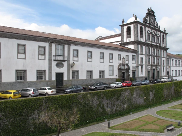 Museums and Theaters
Closed now
Museums and Theaters
Closed now