← Back to trails
Faial · PR07FAI
Caminhos Velhos
A long route from Ribeirinha to the Caldeira along old lanes, the Pedro Miguel graben, wetlands and rural landscape.
Open
Status checked · July 25, 2026, 14:44
Unofficial information that may change at any time. Confirm the trail status before setting out.
When did you walk it?
How is the trail?
Your report shows here once our editors have reviewed it, and stays up for 14 days.
Share a photo
Only send photos you took yourself. Once reviewed, it is published with the credit “Foto: Açores 9 member”.
Loading the route…
About the route
Caminhos Velhos climbs from Ribeirinha to the Caldeira on old lanes that once connected parishes, fields and Horta. It starts in the village centre, where the ruins of São Mateus church recall the 1998 earthquake. The route first descends to Boca da Ribeira and approaches the lighthouse, also damaged by the earthquake, before entering woodland and passing Ribeirinha viewpoint.
Beyond Espalhafatos, the trail leaves the road and climbs dirt tracks used to reach fields and pasture. Crossing the Lomba Grande fault scarp introduces the Pedro Miguel Graben, one of the archipelago's main tectonic landscapes. The walk reaches the Pedro Miguel ponds, visited by migratory birds, then continues along lanes alternating earth and asphalt toward the Cabouco Velho rest area.
The final sector follows a gravel track to Cabouco viewpoint and ends beside the Caldeira tunnel. A view into the crater closes a long, hard ascent rich in contrasts: coast, earthquake memory, woodland, wetland, agriculture and geology unfold on the way to almost 900 metres. The route conveys both the effort of former rural travel and the vertical scale of Faial.
Directions
Leave from Ribeirinha parish council and head toward the coast, passing Boca da Ribeira and the lighthouse. Enter woodland, pass Ribeirinha viewpoint and descend toward Espalhafatos. On the road, turn right carefully and then left onto the dirt track through fields. Cross the next road and continue climbing to a forest road, where you turn left. Proceed through Lomba Grande to the Pedro Miguel ponds. Follow the old lanes to Cabouco Velho and take the gravel track toward Cabouco viewpoint. The route finishes beside the Caldeira tunnel. Arrange collection at the top and do not depend on spontaneous transport.
Safety
The trail is open, but it is a long, hard climb with nearly 900 metres of elevation difference. Start early and carry water, food, waterproofs, warm layers and sun protection. Surfaces alternate road, mud, old lanes and gravel, so wear grippy boots. Cross roads carefully and use the verge. Fog can hide markings near the Caldeira; do not continue without visibility. Respect wetlands, livestock and gates, and secure transport from the endpoint.
Elevation profile
- Minimum
- 24 m
- Maximum
- 892 m
- Distance
- 17.5 km
- Points
- 36
892 m
24 m
Near the trailhead
Places a short distance from the starting point.
Nossa Senhora da Conceição Viewpoint
Ponta da Espalamaca viewpoint overlooking Horta, its bay, Almoxarife Beach and Pico, beside the nearby monument to Nossa Senhora da Conceição.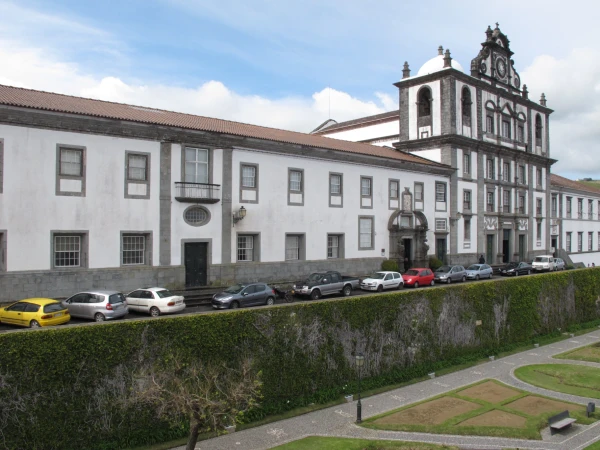 Museums and Theaters
Closed now
Museums and Theaters
Closed now