← Back to trails
Santa Maria · PR01SMA
Costa Norte
A north-coast traverse of Santa Maria from Bananeiras to Anjos via Baía do Raposo and Barreiro da Faneca.
Open
Status checked · July 25, 2026, 14:44
Unofficial information that may change at any time. Confirm the trail status before setting out.
When did you walk it?
How is the trail?
Your report shows here once our editors have reviewed it, and stays up for 14 days.
Share a photo
Only send photos you took yourself. Once reviewed, it is published with the credit “Foto: Açores 9 member”.
Loading the route…
About the route
Costa Norte crosses 8.4 kilometres between Bananeiras and Anjos through some of Santa Maria’s most distinctive geological landscapes. Near the start, Baía do Raposo contains mill ruins, water channels and former vineyard plots in a valley descending to the sea. Water and cultivation left a network of modest built features now framed by vegetation and cliffs.
The route then climbs to Barreiro da Faneca, known for red, clay-rich, almost bare ground that contrasts strongly with the island’s green fields. Signed branches reach viewpoints such as Ponta do Pinheiro and Cré, revealing the north coast, bays and eroded formations. At Monte Gordo, a former whale lookout adds maritime memory before the crossing continues towards Ponta dos Frades and Lemos.
Arrival in Anjos brings together the small chapel, harbour and the tradition associated with Christopher Columbus’s visit to Santa Maria. This medium linear route takes around four hours and combines hydraulic heritage, vineyards, geosites and navigation history without losing the continuity of the coast. Transport must be planned because it finishes in another village. Barreiro da Faneca and its viewpoints are fragile environments where staying with the waymarks is an essential part of the visit.
Directions
Leave Bananeiras and take the signed branch descending to Baía do Raposo, then return to the main crossing. Climb into Barreiro da Faneca and cross the geosite only on marked paths, using solely the indicated branches to Ponta do Pinheiro and Cré. Continue to Monte Gordo and the former lookout, then follow the coast through Ponta dos Frades and Lemos to Anjos. The route finishes around the chapel and harbour, so arrange return transport. Allow about four hours for the 8.4-kilometre crossing and keep a margin of daylight to the finish, including time for signed branches and stops.
Safety
The clay-rich ground of Barreiro da Faneca becomes very slippery in rain and is vulnerable to erosion, so never create shortcuts. Keep away from cliffs and viewpoint edges, especially in wind. Respect plants, birds and old structures at Baía do Raposo. Carry water and sun protection, and secure transport from the end of this linear route. Carry a charged phone and, in an emergency, call 112 with PR01SMA and the number of the last route post seen.
Elevation profile
- Minimum
- 11 m
- Maximum
- 220 m
- Distance
- 8.4 km
- Points
- 18
220 m
11 m
Near the trailhead
Places a short distance from the starting point.
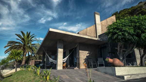 Guest Houses
Open now
Guest Houses
Open now