← Back to trails
São Miguel · PR17SMI
Nascentes de Santo António
A medium-difficulty linear walking trail on São Miguel, currently recorded as temporarily closed by the official portal.
Closed
Status checked · July 25, 2026, 14:44
Unofficial information that may change at any time. Confirm the trail status before setting out.
When did you walk it?
How is the trail?
Your report shows here once our editors have reviewed it, and stays up for 14 days.
Share a photo
Only send photos you took yourself. Once reviewed, it is published with the credit “Foto: Açores 9 member”.
Loading the route…
Temporarily closed.
About the route
Nascentes de Santo António is a short 2.8-kilometre crossing on São Miguel’s north coast and is currently temporarily closed. That closure means it must not be included in walking plans until an explicit reopening takes place. Water is the route’s central subject: the line connects Santo António with old spring areas and structures that show how this resource was collected and used.
Across the slope, rural paths meet damp vegetation and watercourses descending towards the coast. The former Moinhos da Cruz and Moinho da Rocha recall the use of flowing water for milling, while features connected with public supply represent a later function of the springs. Within a compact distance, the route therefore reveals a progression from productive water power to community consumption, all set within a worked agricultural landscape.
The linear trail is rated medium and normally takes about ninety minutes when available. Its maritime setting and incised valleys give it a character distinct from the island’s lake and caldera-rim hikes. Following any future reopening, both access points will need to be checked and return transport arranged. While the closure remains, these details provide cultural context only and do not indicate permission to enter.
Directions
Do not access the trail while it is temporarily closed. Its linear course leaves the Santo António area on old rural paths towards the spring zones, crossing watercourses and places associated with Moinhos da Cruz and Moinho da Rocha. It continues past water-collection structures before reaching the opposite endpoint. After any reopening, confirm the signed entrance on site, follow only the waymarks then in place and arrange transport, as the walk does not return to its start. The full 2.8-kilometre route remains closed; choose another open trail and reconsider this itinerary only after reopening has been expressly confirmed.
Safety
The current closure prevents use of the route; do not pass fencing or notices. Any future visit depends on confirmed reopening and the condition of passages beside the watercourses. Wet ground, mud and slippery surfaces may persist even when it is not raining. Wear suitable footwear and do not enter hydraulic structures or mill ruins. Even after reopening, carry a charged phone and, in an emergency, call 112 with PR17SMI and the number of the last route post seen.
Elevation profile
- Minimum
- 8 m
- Maximum
- 116 m
- Distance
- 2.8 km
- Points
- 15
116 m
8 m
Near the trailhead
Places a short distance from the starting point.
Pico do Carvão Viewpoint
Sete Cidades viewpoint overlooking the mountain massif, north and south coasts, a broad expanse of volcanic cones, and several surrounding lagoons.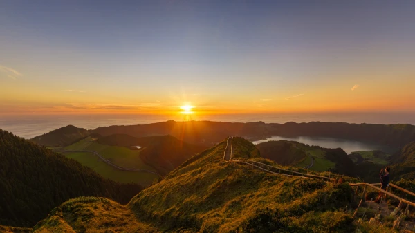 Viewpoints