← Back to trails
São Miguel · PRC46SMI
Fajã do Mar
A coastal circuit at Feteiras among cliffs, vineyards, cellars, seasonal houses and protected seabird habitat.
Closed
Status checked · July 25, 2026, 14:44
Unofficial information that may change at any time. Confirm the trail status before setting out.
When did you walk it?
How is the trail?
Your report shows here once our editors have reviewed it, and stays up for 14 days.
Share a photo
Only send photos you took yourself. Once reviewed, it is published with the credit “Foto: Açores 9 member”.
Loading the route…
Temporarily closed.
About the route
The 5-kilometre Fajã do Mar circuit at Feteiras is temporarily closed. Its usual starting point at Miradouro da Vigia das Baleias must not be used to enter while the closure remains. The former lookout introduces the site’s maritime history: observers once searched from here for signs of whales during the whaling period, a role later replaced by whale watching for tourism.
The line descends from a cliff around 250 metres high to a coastal platform formed by debris accumulated at the foot of the slope. Geological layers, springs and sheltered ground created conditions for a small agricultural territory beside the sea. Vines, cultivated parcels, seasonal houses and access lanes show how the fajã was used despite its isolation. Coastal vegetation and Cory’s shearwater nesting areas also give it ecological importance.
An out-and-back branch approaches Portinho de Cima das Feteiras and Poça da Raçoula, but it too remains closed during the closure. The circuit is medium in difficulty and normally takes about two and a half hours, including the final climb back to the lookout. Any future visit depends on explicit reopening and a new check of slope conditions, coastal accesses and areas sensitive for birds.
Directions
Do not leave Miradouro da Vigia das Baleias onto PRC46SMI while the trail is closed. The circuit descends from the lookout to Fajã do Mar, crosses the agricultural platform and climbs back on another branch. A separate out-and-back spur reaches Portinho de Cima das Feteiras and Poça da Raçoula. After reopening, confirm all waymarks before starting and never use private or coastal accesses to bypass any closed section of the route. The full 5-kilometre route remains closed; choose another open trail and reconsider this itinerary only after reopening has been expressly confirmed.
Safety
The route is temporarily closed; do not descend the cliff or attempt to reach the fajã through the harbour. After reopening, check access stability, sea and weather. Remain on the path to protect coastal vegetation and Cory’s shearwater nests, especially during breeding. Keep away from edges, springs and unstable walls, and reserve energy for the final climb. Even after reopening, carry a charged phone and, in an emergency, call 112 with PRC46SMI and the number of the last route post seen.
Elevation profile
- Minimum
- 10 m
- Maximum
- 279 m
- Distance
- 5.0 km
- Points
- 21
279 m
10 m
Near the trailhead
Places a short distance from the starting point.
Pico do Carvão Viewpoint
Sete Cidades viewpoint overlooking the mountain massif, north and south coasts, a broad expanse of volcanic cones, and several surrounding lagoons.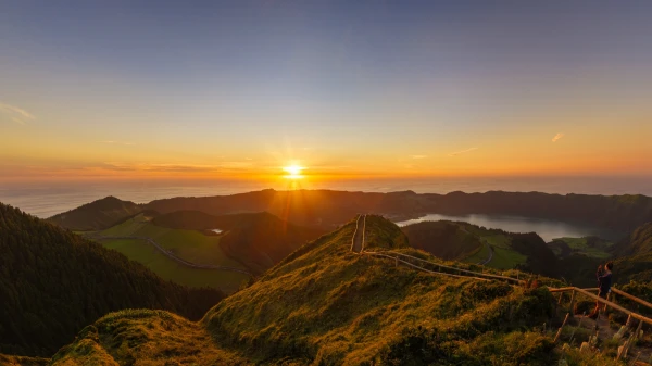 Viewpoints