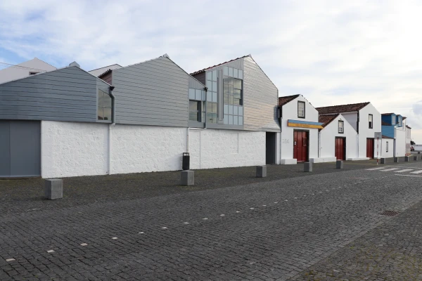
 Museums and Theaters
Closed now
Museums and Theaters
Closed now
← Back to trails
Pico · PR02PIC
Caminho dos Burros: Vertente Norte
A route from Pico's high plateau to the north coast along an old community path through the Mistério da Prainha Nature Reserve.
Open
Status checked · July 25, 2026, 14:44
Unofficial information that may change at any time. Confirm the trail status before setting out.
When did you walk it?
How is the trail?
Your report shows here once our editors have reviewed it, and stays up for 14 days.
Share a photo
Only send photos you took yourself. Once reviewed, it is published with the credit “Foto: Açores 9 member”.
Loading the route…
About the route
The northern branch of Caminho dos Burros descends from Pico's central plateau to the coast through Mistério da Prainha. Its beginning beside Caminho das Lagoas lies in a high, wet and open landscape. After an initial lane, the route approaches Cabeços do Mistério and enters a narrower path where vegetation becomes denser. Broad patches of sphagnum and pockets of endemic flora, including Azorean spurge, contrast strongly with the lower agricultural tracks.
The descent alternates shortcuts, road and gravel track. After meeting the road again, the itinerary joins a dirt route that leads to a marked choice between two alternatives. One continues toward São Miguel Arcanjo for roughly three kilometres on a rural track; the other heads to Baía de Canas, passing through vegetation of Australian cheesewood, acacia and Azorean laurel before entering Prainha Forest Park.
Walkers choosing Baía de Canas continue on dirt lanes until the coast. The experience therefore changes from plateau bog and upland vegetation to woodland and finally the shoreline. This is a medium-grade linear crossing shaped by sustained loss of height and by the memory of an old connection between communities, rather than by one isolated monument or viewpoint.
Directions
Reach Caminho das Lagoas from the Transversal Road and continue to the marked start on the plateau. Follow the lane for about 500 metres, then turn right onto the shortcut beside Cabeços do Mistério. After roughly one kilometre, enter the narrower path descending through dense vegetation. At the road, turn right and shortly afterwards left onto the gravel track. At the next split, choose only one marked alternative: the dirt route to São Miguel Arcanjo or the Baía de Canas branch. For Baía de Canas, continue about 1.7 kilometres, turn left into the wooded path, cross Prainha Forest Park and follow the markings to the finish. Arrange transport from the chosen endpoint.
Safety
The trail is open, but the plateau can hold fog, wind, rain and saturated ground even when the coast is clear. Do not start without enough visibility to follow the markings. Wear waterproof boots with good grip and carry warm layers, water and backup navigation. The sustained descent demands care on mud and loose stone. At the branch, remain on one marked alternative and do not try to connect the two endpoints by unsigned shortcuts.
Elevation profile
- Minimum
- 8 m
- Maximum
- 812 m
- Distance
- 8.9 km
- Points
- 49
812 m
8 m
Near the trailhead
Places a short distance from the starting point.
Museums and Theaters
Closed now
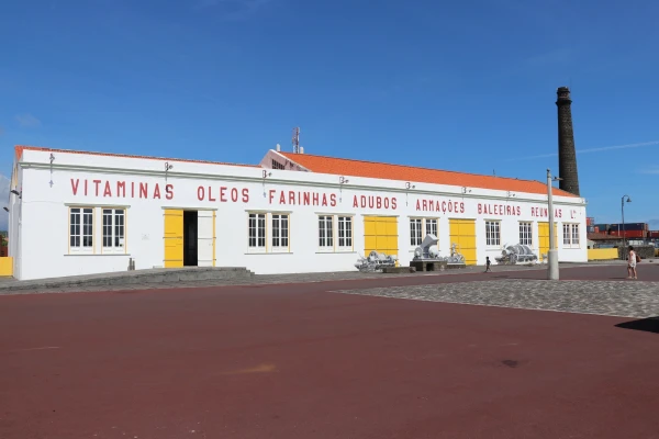 Museums and Theaters
Closed now
Museums and Theaters
Closed now