← Back to trails
Pico · PR03PIC
Ponta da Ilha
A coastal trail from Porto do Calhau to Manhenha along fishermen's paths, vineyards and the lava shore of Ponta da Ilha.
Open
Status checked · July 25, 2026, 14:44
Unofficial information that may change at any time. Confirm the trail status before setting out.
When did you walk it?
How is the trail?
Your report shows here once our editors have reviewed it, and stays up for 14 days.
Share a photo
Only send photos you took yourself. Once reviewed, it is published with the credit “Foto: Açores 9 member”.
Loading the route…
About the route
Ponta da Ilha follows Pico's eastern coast between Calhau and Manhenha. The walk opens with a short climb on asphalt before entering a lane that passes the 1854 chapel of Nossa Senhora de Cima da Rocha. From there, markings lead through vineyard plots, old houses and rural paths that preserve the close relationship of this coast with fishing and small-scale agriculture.
The character changes beside the sea. For about one and a half kilometres, progress is over very uneven basalt slabs and rock, with a succession of small bays close at hand. A stairway then gains height and joins a gravel path leading to the houses of Engrade. At this point there are two choices: continue directly to Manhenha by road, or remain on the longer marked itinerary, turning left to pass further bays before reaching the lighthouse.
From the lighthouse, the final stretch of roughly 700 metres follows asphalt to Manhenha quay. Although short in distance, the route is graded hard because of its surface and coastal exposure. The sequence of chapel, vineyards, fishermen's paths, lighthouse and small harbours reveals an end of Pico where built heritage remains inseparable from lava and the Atlantic.
Directions
In Piedade parish, take the road opposite the church toward Porto do Calhau. At the marked beginning, climb about 200 metres on asphalt and turn left into the lane passing Nossa Senhora de Cima da Rocha chapel. Follow the markings for roughly two kilometres through vineyards and old houses, then join the coastal path over basalt. Climb the stairway and continue on the gravel track to Engrade. There, the shorter option follows the road to Manhenha; the main itinerary turns left, passes further bays and reaches Manhenha lighthouse. Continue for 700 metres on the road to the quay, where the trail ends. Arrange return transport to Calhau.
Safety
The trail is open, but its basalt section is rough, sharp and slippery when wet. Wear sturdy footwear, move slowly and avoid the route in heavy seas, intense rain or wind that affects balance. Keep back from breaking waves and exposed rock edges. Between May and July, follow any temporary diversion protecting nesting terns. Carry water and sun protection because much of the coastal section has little shade.
Elevation profile
- Minimum
- 3 m
- Maximum
- 29 m
- Distance
- 7.0 km
- Points
- 36
29 m
3 m
Near the trailhead
Places a short distance from the starting point.
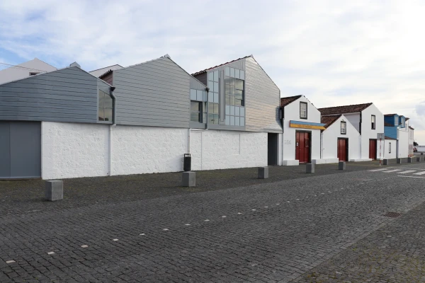 Museums and Theaters
Closed now
Museums and Theaters
Closed now
Whaling Museum
Lajes do Pico museum devoted to Azorean artisanal whaling, with historic boathouses, exhibitions, an archive, specialist library and educational services.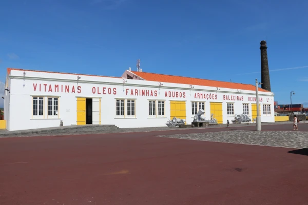 Museums and Theaters
Closed now
Museums and Theaters
Closed now