Nature
Sete Cidades: One Caldera, Many Lakes
Geology, water and life inside a great volcano
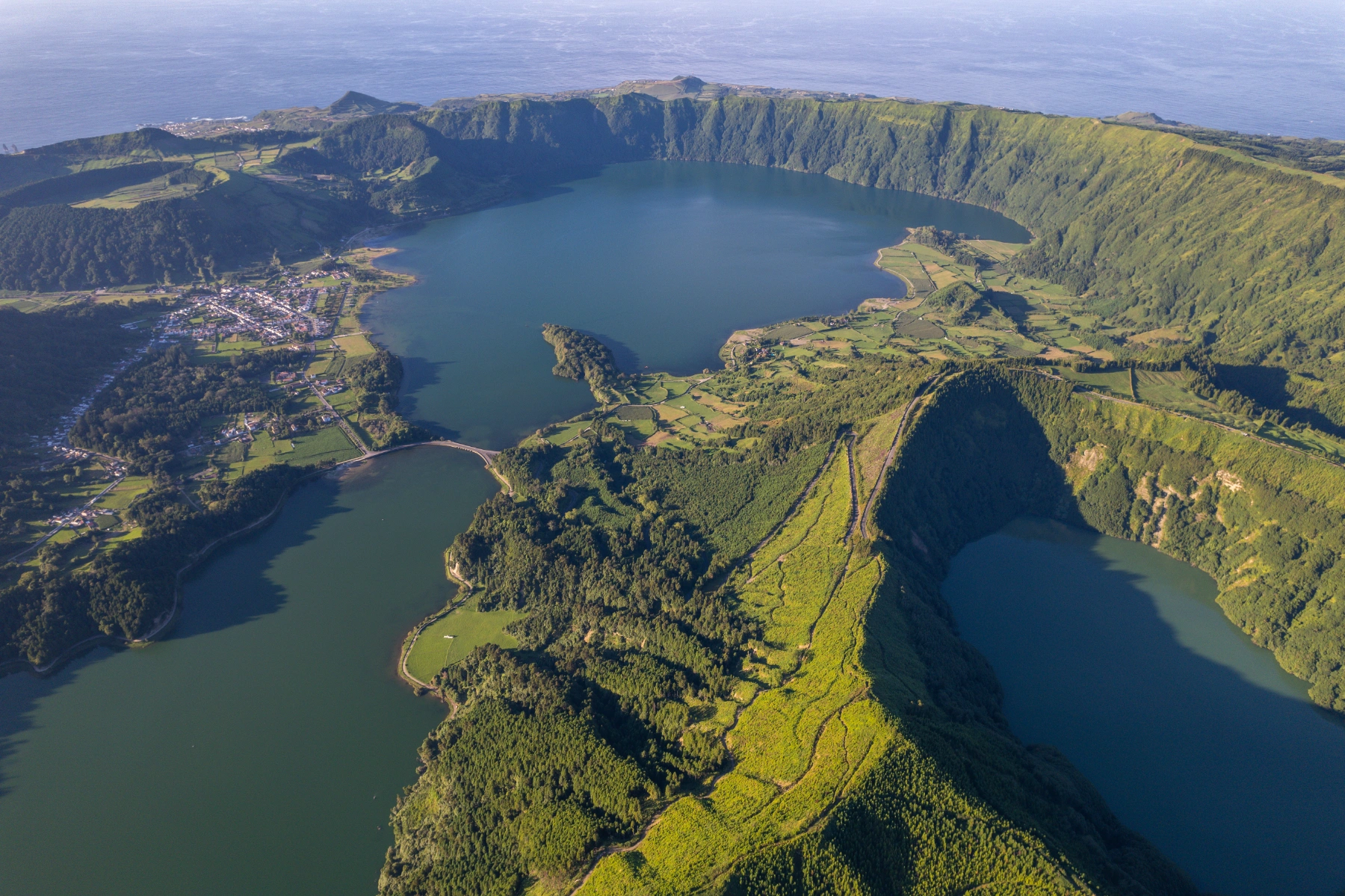
Sete Cidades is at once a volcano, a caldera, a lake system, a civil parish and one of the Azores’ most reproduced images. From the rim, the Blue and Green lakes seem to fill a perfectly enclosed landscape. At water level, however, a settlement, pastures, roads, altered shores and management problems reveal that the caldera is inhabited. Its beauty grows from the encounter between ancient volcanic processes, water, vegetation, light and centuries of human presence.
The great Sete Cidades volcano dominates the western end of São Miguel. Its almost circular collapse caldera has an average diameter of about 5.3 kilometres and a maximum depth close to 630 metres; it probably began forming around 36,000 years ago. About fifteen explosive eruptions then occurred inside it, building cones and craters in which other lakes, including Santiago and Rasa, developed. The present landscape is not the scar of one explosion but a palimpsest of collapse, eruption, erosion, drainage and settlement.
How a mountain collapses
A caldera is not simply a very large crater opened by an impact. In explosive volcanoes, rapid expulsion of large volumes of magma and fragmented material can remove support from the upper edifice. Parts of the mountain descend along fractures, creating a depression several kilometres wide. At Sete Cidades, this happened through episodes in a complex history, leaving high walls that now frame the landscape.
Collapse did not end activity. Pumice cones, craters and younger deposits occupy the interior and slopes. São Miguel Nature Park identifies about fifteen explosive eruptions after caldera formation, the most recent around 1439 at the Caldeira Seca pumice cone. The absence of documented on-land eruptions at Sete Cidades Volcano since settlement began does not mean that the system is extinct. Scientific monitoring and planning exist because geological beauty is also the expression of an active system operating over a long human timescale.
Blue and Green: water, light and viewpoint
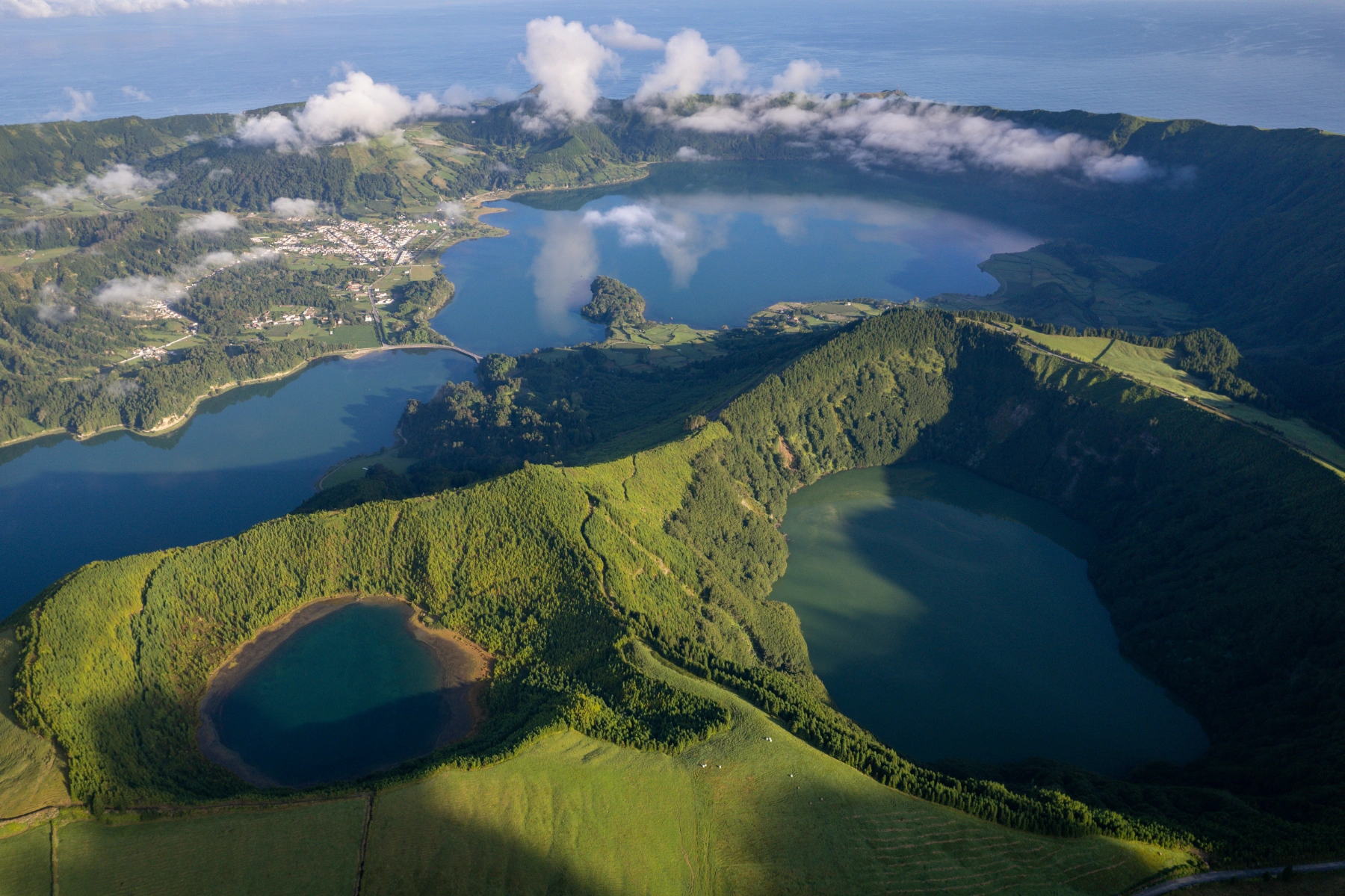
A bridge and narrow channel mark the visible division between the Blue and Green lakes, treated in water management as distinct water bodies. Their colours are not fixed pigments. Depth, particles and organisms in the water, reflection of sky, shoreline vegetation, wind and the observer’s position all alter the returning light. On some days the contrast is intense; on others the two surfaces appear closer in tone.
The legend of the blue and green eyes of two separated lovers gives the landscape a memorable story, but it belongs to imaginative heritage rather than physical explanation. Science and legend can coexist as long as they are not confused. One helps us read water, optics and ecology; the other shows how communities and visitors seek emotion in a geological form. Clearly stating where one ends and the other begins makes both more interesting.
A family of lakes, not only two
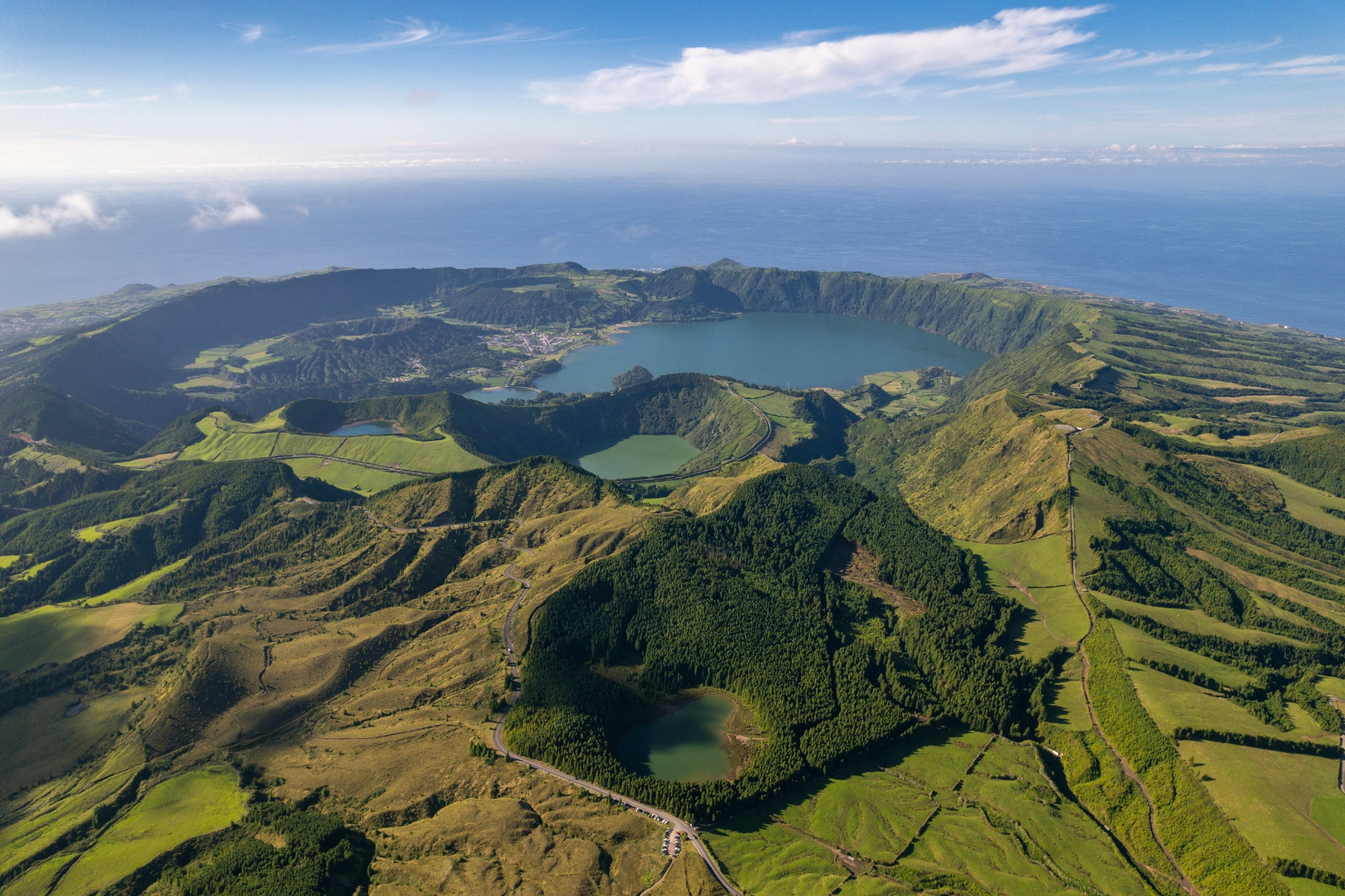
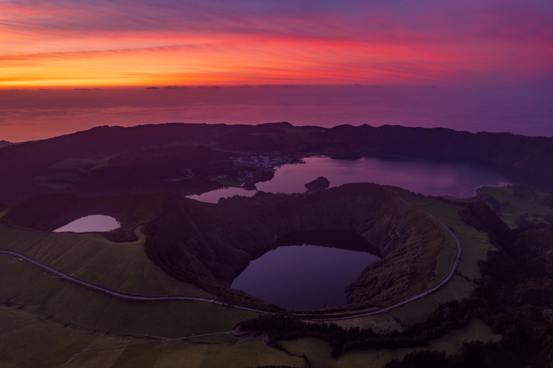
The panoramic image focuses attention on the Blue and Green lakes, but the volcanic system contains other water bodies. Santiago Lake occupies a crater with steep vegetated walls and often appears dark from above. The smaller Rasa Lake, at a different elevation, shows how minor depressions capture water inside the greater structure. To the southeast, Serra Devassa gathers cones and many upland lakes, including Canário, Empadadas and Carvão.
Each lake has its own basin, depth, circulation and biological community. Proximity does not make them interchangeable. This diversity increases the hydrological and ecological value of western São Miguel while complicating management. Changes in drainage, land use and nutrients carried by rain affect each basin differently. Reading the whole system relieves some symbolic pressure on the famous blue-green pair and reveals a volcano organised through successive scales of water.
Santiago: another crater within the story
Santiago Lake helps reveal that the caldera is not a smooth bowl. Its water occupies a crater of its own, enclosed by slopes shaped by activity after the major collapse. The difference in elevation and wooded wall create a visual atmosphere unlike the inhabited shores of Sete Cidades Lake. The contrast is geological before it is scenic.
Elevated views are useful because they reveal form, but they compress distance and can make dangerous slopes appear accessible. Vegetation hides steep ground and fog quickly changes visibility and orientation. Viewpoints and designated areas concentrate observation where terrain can support presence. Respecting them does not limit understanding; it makes it possible to look without turning every crater edge into a place for physical approach.
Living on the caldera floor
The parish of Sete Cidades developed on low ground beside the lakes. Houses, church, fields and roads make the caldera a cultural landscape rather than an empty reserve. Fertility, water and shelter encouraged farming and cattle, but the enclosed basin also accumulated water during heavy rain. Floods affected streets, homes and crops.
Between 1930 and 1937, a tunnel approximately 1,200 metres long was built through the caldera wall, carrying water towards a stream at Mosteiros. The work enables volume control and reduces flooding. It is less photogenic than the lakes but essential to understanding the place. It shows a community that does not live passively inside a volcano: it altered water circulation to make the territory habitable. That intervention brings continuing responsibility because water levels, maintenance and ecological quality remain linked.
Rasa Lake: small scale, wider context
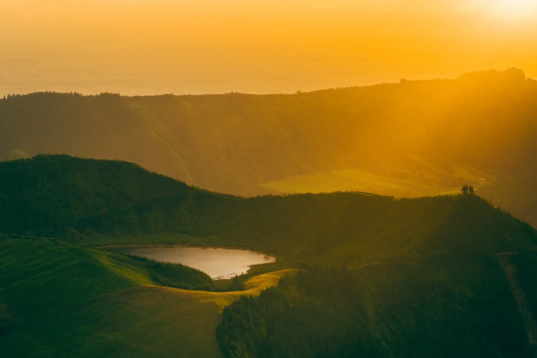
Rasa Lake is the smallest of four lakes commonly highlighted within the caldera. Its modest scale shows how relief creates micro-basins that could be overlooked beside the monumentality of the main lake. Changes in level, plant colonisation and introduced species can produce rapid effects in such places. Small does not mean secondary.
The image of Rasa also reveals roads and human traces beside vegetation. The Sete Cidades Protected Landscape was classified precisely for its combination of natural values and human activities. Conservation does not mean erasing all presence, but guiding uses compatible with water, habitats and the legibility of volcanic form. Each lake functions as an indicator of decisions taken in the basin feeding it.
Abundant water, vulnerable water
Nutrients from fertiliser, cattle, soil and wastewater can reach the lakes and promote eutrophication: excessive growth of algae and plants, reduced transparency and changes in oxygen. The problem cannot be solved by treating the surface alone. It requires management of the whole catchment, careful agricultural practice, sanitation, shoreline recovery and continuing monitoring.
The system also contains introduced species, including carp, pike and crayfish, while the terrestrial area supports endemic plants and resident and migratory birds. Ramsar status and inclusion in the UNESCO Global Geopark recognise overlapping wetland and geological values. To a visitor, the water may appear still and inexhaustible; to those who study and manage it, it is a body in constant exchange with rain, soil, vegetation and human use. The visual quality supporting its fame depends on ecological processes that are much less visible.
Biodiversity across forest, shore and water
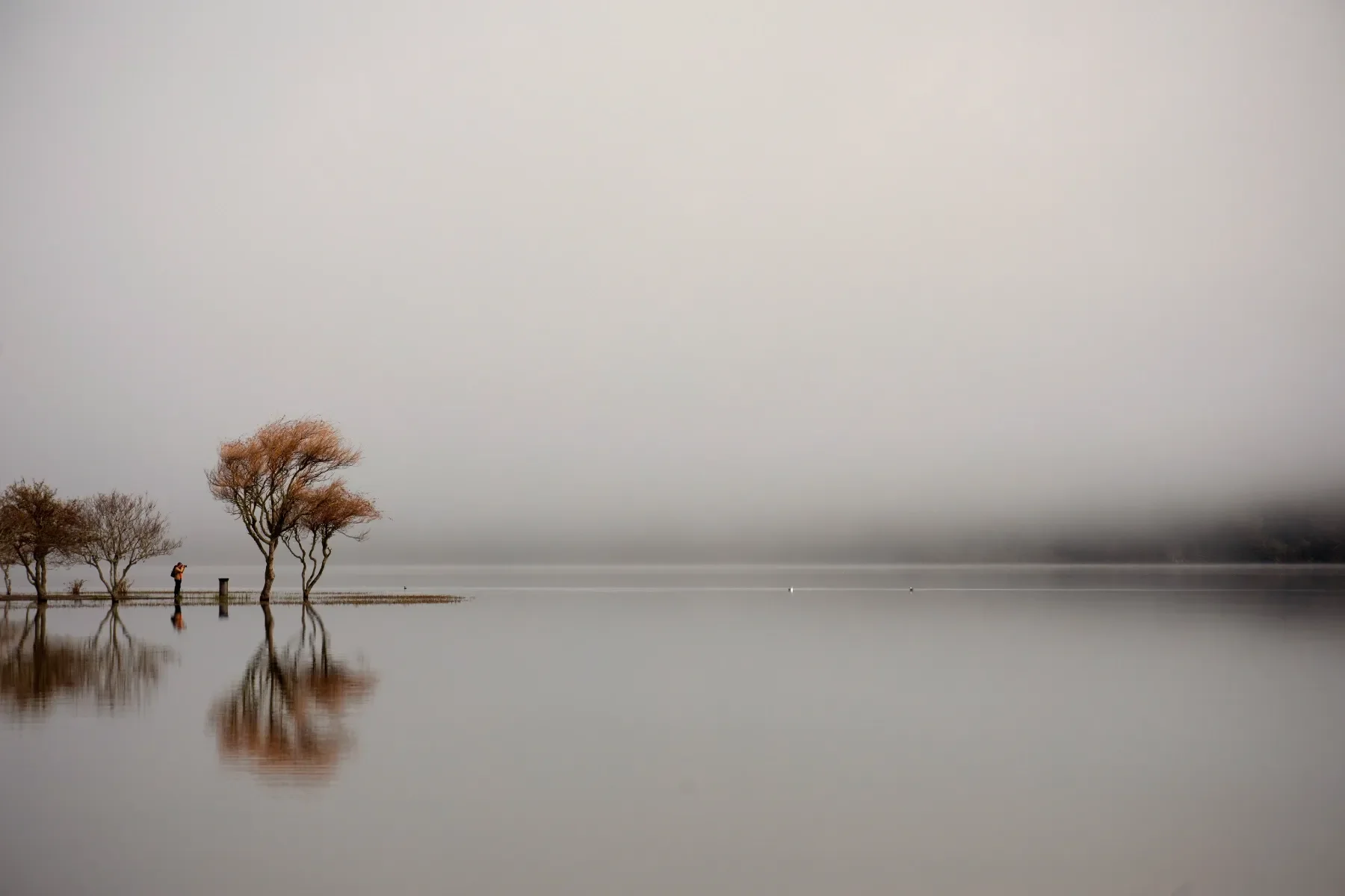
Variation in elevation, humidity and exposure creates habitats invisible in the panoramic photograph. Endemic plants on slopes and in vegetation patches include Azores lettuce, angelica, island dock and Azores spurge. Resident birds include Azorean forms of goldcrest and buzzard, while grey heron and other waterbirds use the area during wider movements.
Not all lush vegetation is native. Historic forestry and invasive species altered communities and can obscure geological form or compete with endemics. Introduced fish and crayfish change food webs in the lakes. Conservation requires distinguishing greenness from biodiversity: a densely covered slope may have low ecological value while a small native patch concentrates unique species. Control, restoration and education projects rarely produce the immediate effect of a viewpoint, but they determine which forms of life will accompany the landscape in future.
Bird counts, water sampling and plant mapping turn scattered observations into comparable series. Repetition matters: only it can separate seasonal fluctuation from lasting change. Long-term records also help managers test whether restoration is working rather than judging success from one unusually clear season. Visitors can support that care by never feeding wildlife, releasing animals or moving plants between lakes.
An image that changes by the minute
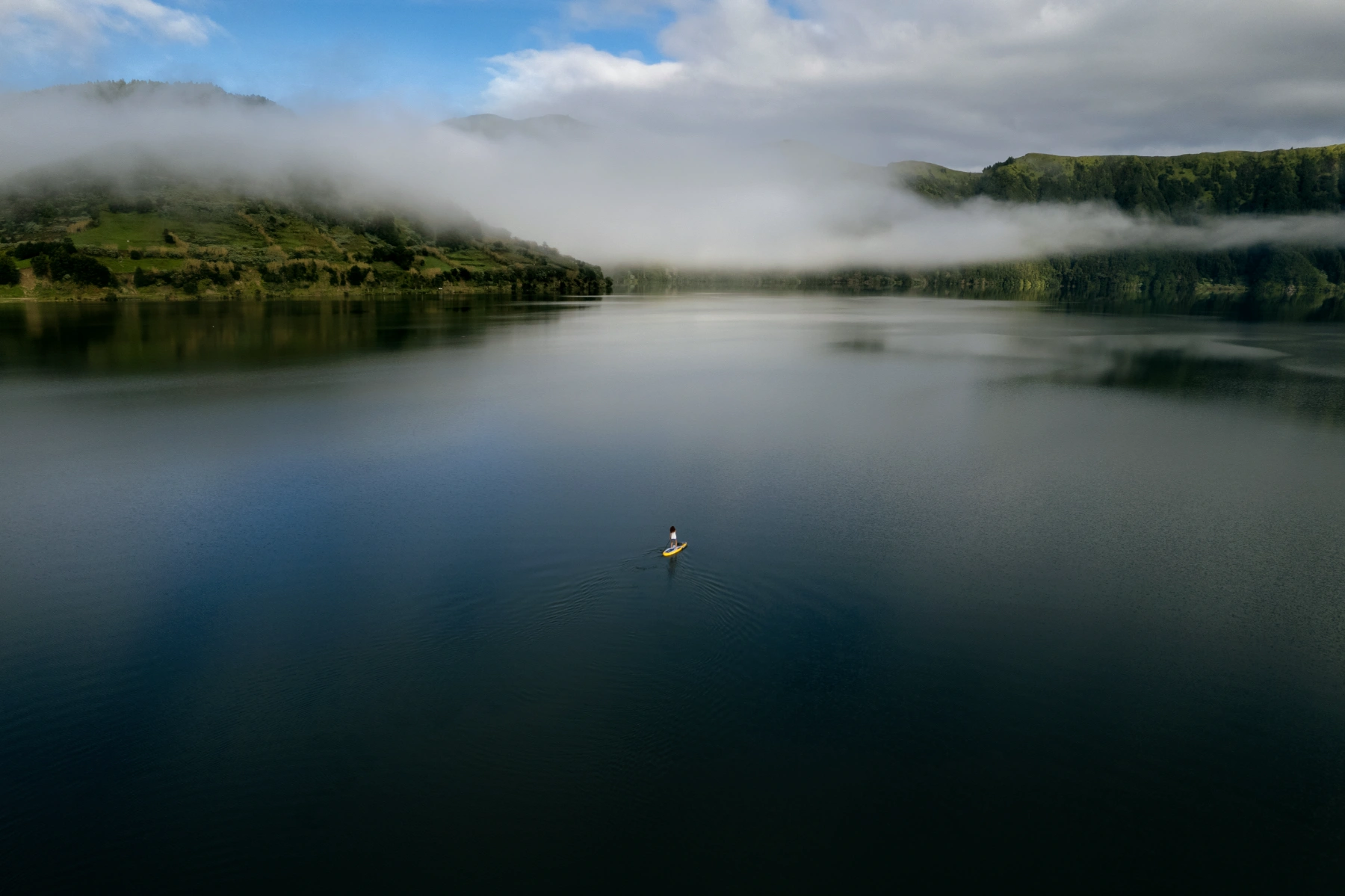
Cloud arriving from the Atlantic can erase the caldera and open it again minutes later. Light changes colour; wind breaks reflection; rain draws slopes closer; morning quiet gives way to traffic at viewpoints. A view has not “failed” simply because the postcard did not appear. Fog reveals altitude and exposure, components as real as blue water.
Responsible observation means remaining on established access and at viewpoints, not crushing vegetation to repeat a photograph, and not confusing inhabited shores with a theme park. At parish level, notice the relationship between homes, church, fields and lake. From above, distinguish the greater caldera from inner craters. Between these scales lies the real richness: an ancient volcano still monitored, a vulnerable water system, a community within the depression and a landscape that never offers exactly the same image twice.