 Viewpoints
← Back to trails
Flores · PR01FLO
Ponta Delgada - Fajã Grande
A closed coastal route between Ponta Delgada and Fajã Grande through cliffs, lighthouse, islets, native vegetation and waterfalls.
Closed
Status checked · July 25, 2026, 14:44
Unofficial information that may change at any time. Confirm the trail status before setting out.
When did you walk it?
How is the trail?
Your report shows here once our editors have reviewed it, and stays up for 14 days.
Share a photo
Only send photos you took yourself. Once reviewed, it is published with the credit “Foto: Açores 9 member”.
Loading the route…
Temporarily closed.
About the route
Ponta Delgada–Fajã Grande is a linear crossing of northern and western Flores, but it is closed. The historic alignment leaves central Ponta Delgada and passes pasture and valleys toward Ponta do Albarnaz. Its lighthouse, opened in 1925, marks this first part and provides views toward Corvo, Maria Vaz islet and some of the island's oldest volcanic terrain.
Beyond Albarnaz, the route crosses streams and areas of endemic vegetation. Monchique islet lies offshore while the coastline becomes progressively higher and more indented. On the final kilometres, Rocha do Risco introduces a cliffside sector exposed to the ocean and unsuitable for people with vertigo. The approach toward Fajã Grande passes Azorean juniper woodland beneath a fossil cliff cut by numerous waterfalls.
The scenic and natural importance of this connection helps explain the western coast of Flores, but it does not change the present status. While closure remains, this description is only for understanding and future planning; it must not be used to enter from Ponta Delgada, Albarnaz, Ponta da Fajã or Fajã Grande. A walk should only be considered after reopening has been confirmed.
Directions
There are no usable progression directions while the trail is closed. Do not enter from central Ponta Delgada, Albarnaz lighthouse, Rocha do Risco, Ponta da Fajã or Fajã Grande, and do not try to connect sections by roads, pasture or unsigned paths. For future planning, the endpoints are Ponta Delgada and Fajã Grande and would require separate transport because this is a linear crossing. Wait for confirmed reopening before arranging collection, setting timings or assessing access. After reopening, check the status of the entire route again before departure, because a partial opening would not automatically make every sector passable.
Safety
The trail is temporarily closed. Do not walk any section, pass signs or barriers, or use secondary access points. Closure applies to the entire route between both endpoints; choose another open trail. The alignment includes cliffs, exposure, streams, slippery rock and rain-affected ground; those hazards can only be reassessed after reopening. Wait for the whole itinerary to reopen before planning any crossing.
Elevation profile
- Minimum
- 13 m
- Maximum
- 417 m
- Distance
- 13.0 km
- Points
- 27
417 m
13 m
Near the trailhead
Places a short distance from the starting point.
Viewpoints
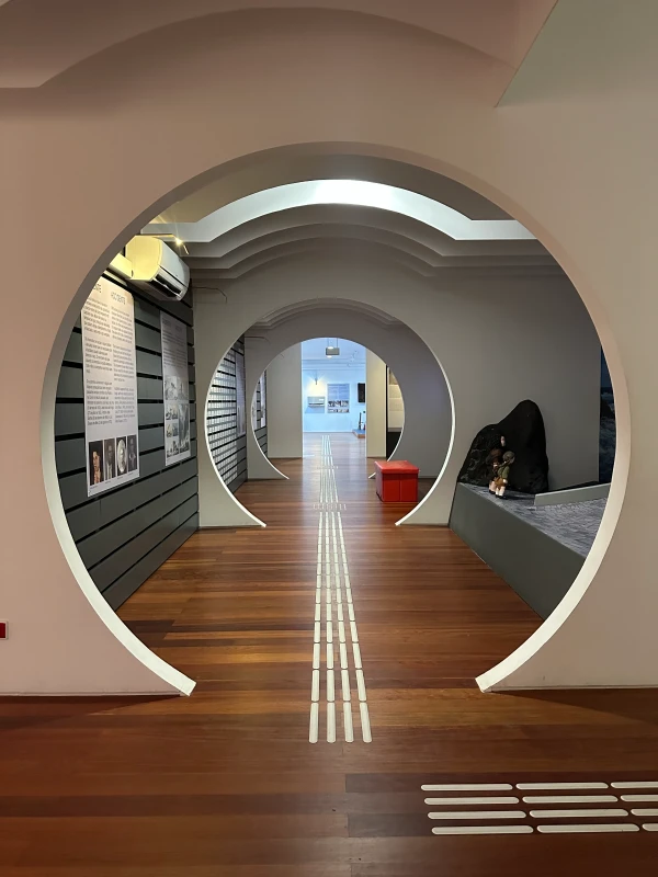 Museums and Theaters
Closed now
Museums and Theaters
Closed now