Azores present high-precision maps of all nine islands at COP31
The Azores presented aerial and LiDAR mapping of all nine islands at COP31 to support spatial planning, climate adaptation and natural hazard prevention.
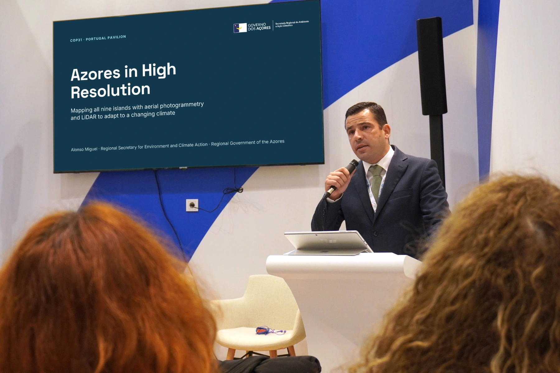
The Azorean Government presented the results of its «Açores em Alta Resolução» project at COP31 in Antalya, Türkiye. A single survey campaign mapped the land area of all nine islands, combining aerial photography and LiDAR technology to support spatial planning and natural hazard prevention.
According to information released by the regional government on 12 November, the project cost around €1.5 million and covered 2,324 square kilometres. The survey took place in 2024 and captured 19,216 aerial images at a resolution of approximately 8.5 centimetres, contributing to a dataset of around 38 terabytes.
At the presentation, Regional Secretary for the Environment and Climate Action Alonso Miguel highlighted the value of a shared dataset for identifying vulnerabilities and informing land management decisions. The information will help assess areas exposed to flooding and landslides, as well as the effects of sea-level rise and coastal overtopping.
The project also supports monitoring of vegetation and coastal erosion. A detailed three-dimensional survey has already been carried out at Capelinhos, on Faial, where the government plans to repeat the work every two years to track changes in the landscape.
Some LiDAR data and digital models are already publicly accessible with support from Portugal’s Directorate-General for Territory. Aerial imagery viewing services are also available. The stated aim is to encourage municipalities, civil protection services, researchers, businesses and citizens to use the information.
More news
Santa Maria · November 22
Malbusca operator seeks clarity over Santa Maria space plans
The Malbusca spaceport operator seeks clarity from the Azores government as a planned Air Force base raises fears of unfair competition on Santa Maria.
November 22
Restored housing projects open a new chapter for families on two islands
Two restored housing projects have delivered 144 homes on Terceira and São Miguel, including affordable-rent apartments for families in Ribeira Grande.
November 22
Corvo supply route puts Faial freight costs under scrutiny
The Terceira–Corvo cargo route bypasses Horta. The government cites speed and costs, while Faial freight agents contest an extra shipping charge.